Thank you for interest in the the East Crazy Mountains and Inspiration Divide Public Access Improvement Land Exchange.
Scroll down to explore the proposal.
These are Montana's Crazy Mountains. They are a sanctuary for wildlife, a gateway for outdoor enthusiasts and hunters, and a source of water and forage for working farms and ranches.

But a legacy of checkerboard land ownership has resulted in decades of confusion over public access into these mountains.
Many trails and routes into the Crazy Mountains travel a complicated patchwork of private and public lands. This has led to public access conflicts over the legality of many routes including East Trunk Trail # 136 (highlighted in yellow).
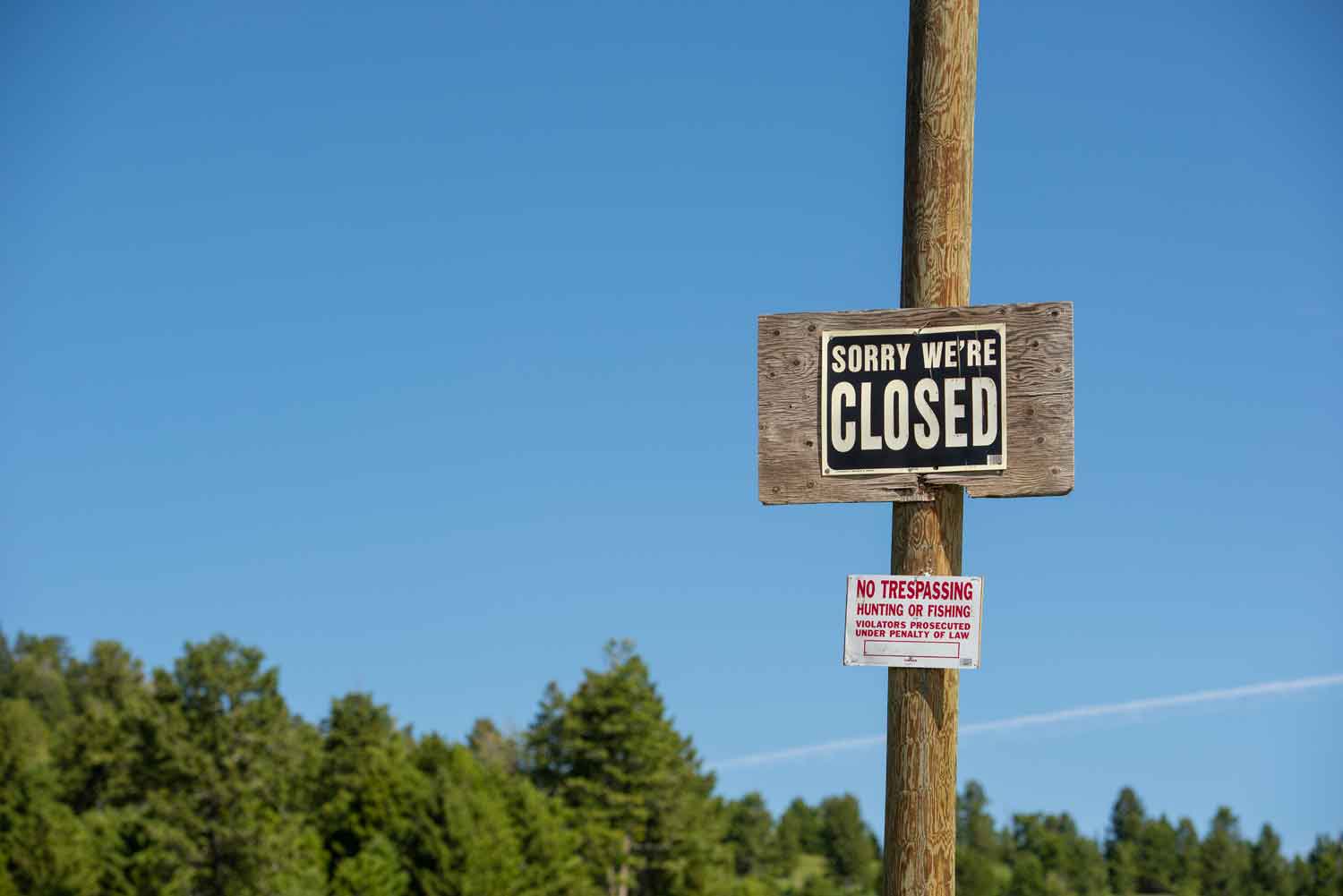
That’s why local landowners and public land users have hammered out a new agreement to clean up checkerboard and resolve a public access dispute on the eastern side.
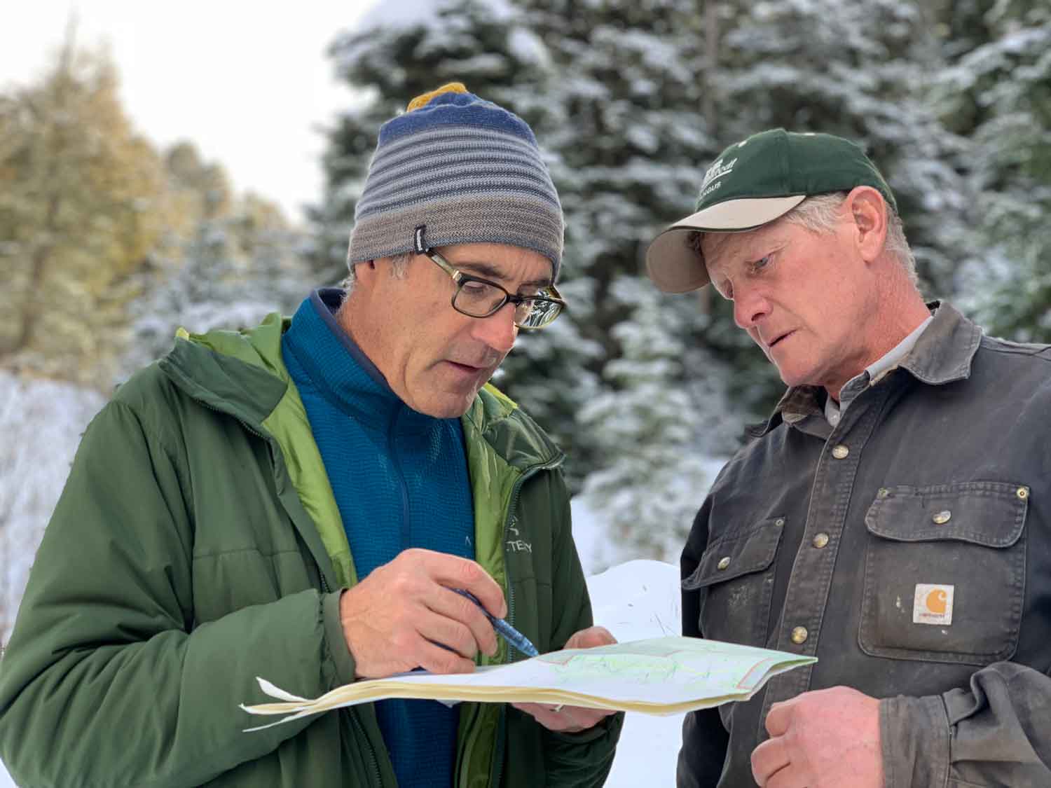
The East Crazy Mountains and Inspiration Divide proposal seeks to swap roughly 9,000 acres of land between Big Timber Creek and Sweet Grass Creek.
The Forest Service will aquire 5,205 acres of private checkerboard inholdings.
Landowners will aquire 3,614 acres of Forest Service land that are already intersperced with private ranchlands and traversed by existing ranch roads.
The East Crazy Mountain proposal consolidates a block of public lands and increase the overall roadless area in the Crazy Mountains to 94,590 acres.
Additionally, Crow Tribal members will acquire legal access through a private inholding to visit Crazy Peak, a mountain they consider sacred.
A second component of the proposal involves roughly 1,000 acres in the Madison Range near Big Sky, Montana.
The Forest Service will aquire 558 acres of mid-elevation private land owned by the Yellowstone Club. This creates new backcountry access and hunting opportunites on land west of Inspiration Divide Trail #8.
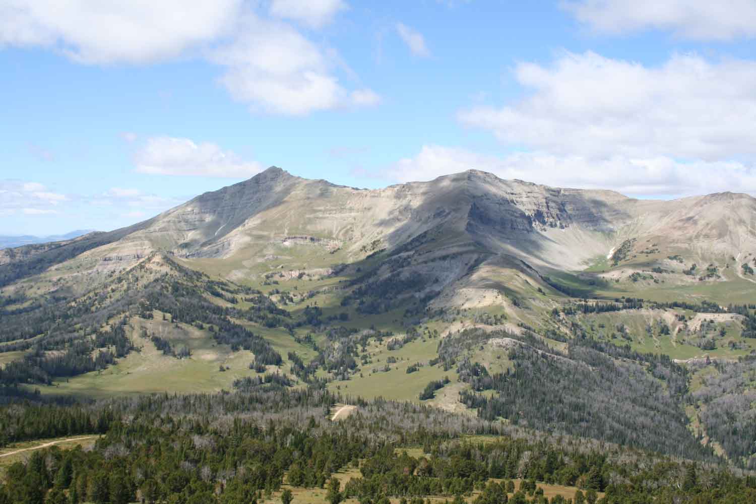
The Yellowstone Club would aquire 500 acres of high-elevation expert ski terrain near Eglise Peak and restrict development to ski use and avalanche control only.
As part of the agreement, the Yellowstone Club will pay to construct a new 22-mile public trail on consolidated public lands in the Crazy Mountains. This new trail will replace the disputed East Trunk Trail.
This new East Trunk Trail will better connect existing Forest Service trails and trailheads to create a new nearly forty-mile loop that traverses the full range.
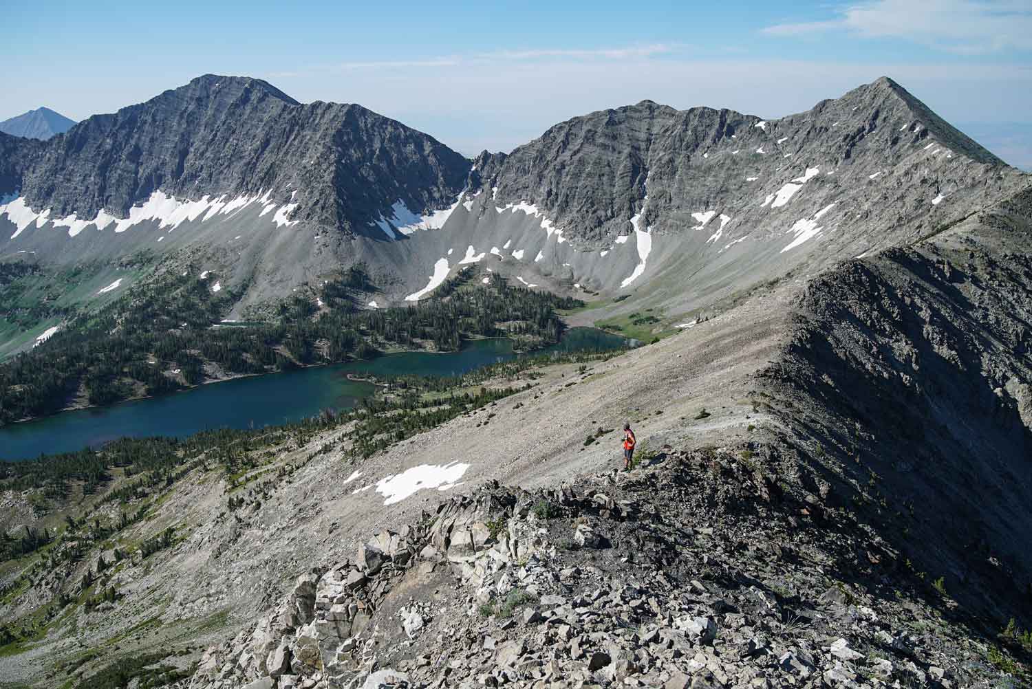
The proposed trail will begin at Halfmoon campground. Initial switchbacks will ascend steep terrain and offer incredible views of Big Timber Canyon and Big Timber Peak as elevation is gained.
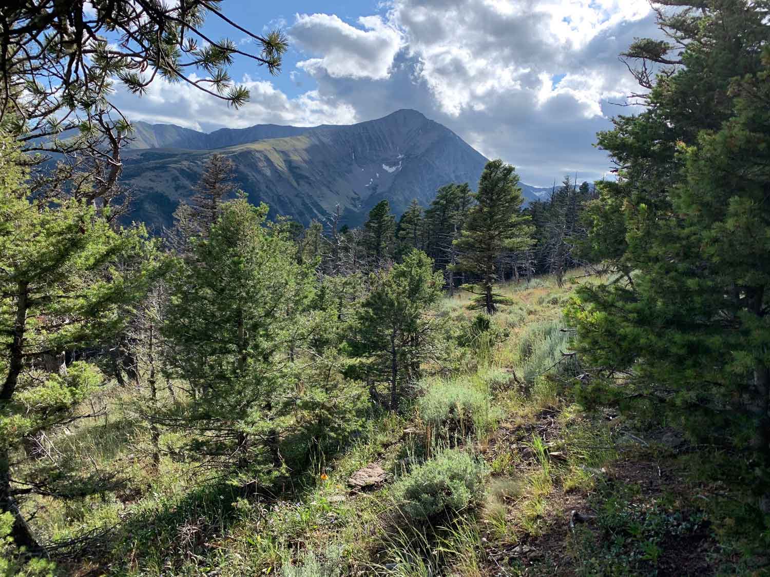
The next three trail miles will traverse gentle douglas fir forests and steep northfacing lodgepole forest as the trail ambles around Amelong Creek. Elevation along this section of trail fluctates between 7,450 and 7,650 feet.
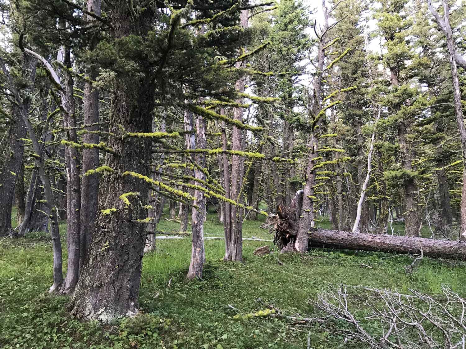
As the trail winds north of Otter Creek it will cross several small drainages and a mix of mature lodgepole stands and open forests.
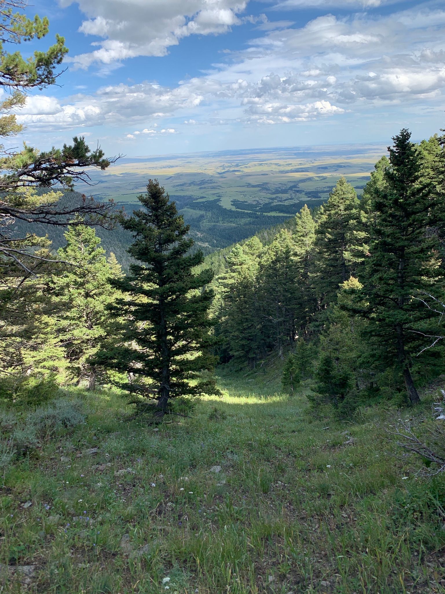
The trail will weave through Dry Creek and cross two miles of heavy timber which is excellent security habitat for elk and other wildlife.
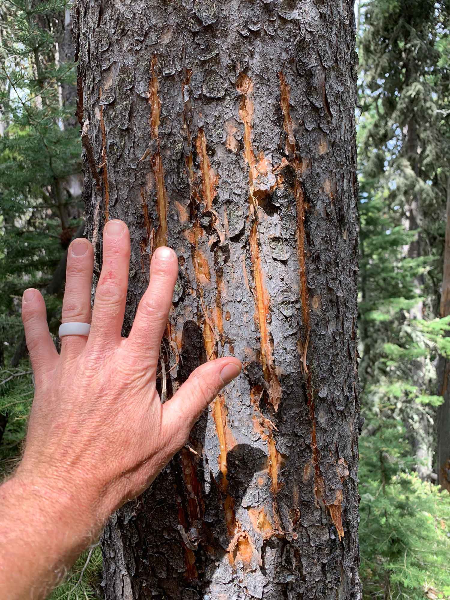
As the trail nears Sweet Grass Creek it will descend over 1,000 feet and traverse scenic spring-fed meadows and thick timber on its route to Hell Roaring Creek. This section will provide sweeping view of Sweet Grass Creek.
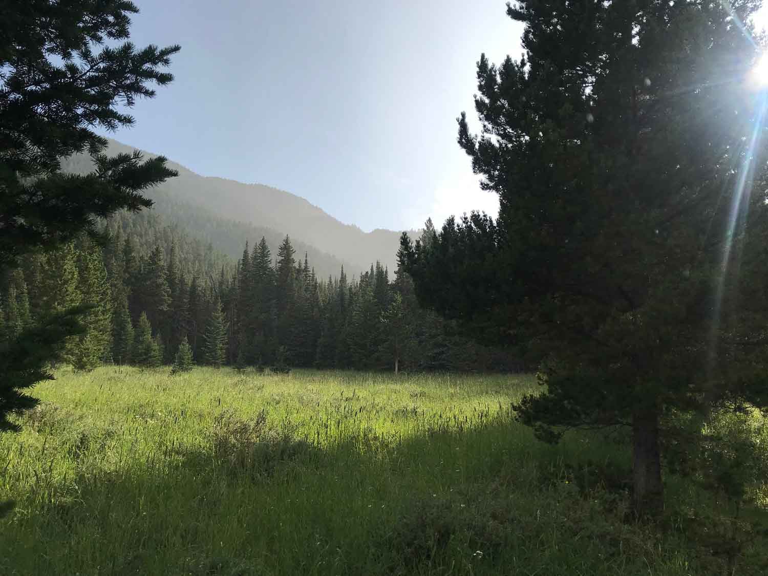
The final section of the trail will follow the northern aspect of Sweet Grass Creek and navigate wetlands and ponds at lower elevation. The trail will ford Sweet Grass Creek before connecting with existing Forest Service Trail #122
Thank you for exploring this proposal. If successful, Montanans could break decades of gridlock and create new outdoor opportunities and public access for the next generation. Continue scrolling to take control of the map.


